Local hiking trails

Massif de Bavella - U Tafonu di U Campuleddu

GPS: N41°47'44.6166" - E9°13 28.6494"
Duration: 3h00 roundtrip, red marking, easy.
Start: Parking Col de Bavella (1218m d'altitude).
Drop: 200m
Interest: "U Tafonu di U Campuleddu" is very interesting because of the erosion. The hiking route in on the Velaco plateau, at the south of Bavella mountain pass, in a beautiful forest, Laricciu.

Massif de Bavella - Variante Alpine du GR20

GPS: N41° 47'44.6166" - E9°13' 28.6494"
Duration4h for A Punta di u Pargulu, 7h for the entire loop, returning on the GR20, red/white marking, hard.
Start: Col de Bavella (1218m d'altitude)
Drop: 500m. Reach the peak of Pargulu at 1662m.
Difficulty: difficult, equipment, steep and stony path.
Interest: Mountain hiking at the heart of Aiguilles de Bavella with splendid views, ideal for an alpine lunch. 

Massif de Bavella - Le Refuge de Paliri

GPS: N41° 47'41.4924" - E9°13'43.5966"
Duration: 4h roundtrip, red mark, easy path.
Start: Cannone Fountain at the Col de Bavella (1183m of altitude).
Drop: from 400 meters.
Difficulty: easy hiking to reach Col de Finosa, then ride along the Paliri hill up to the refuge.
Interest: Bucolic setting next to the former sheepfold of I Paliri.

Massif de Bavella - La Croix de Leccia

GPS: N41° 47'44.6166" -E9°13'28.6494"
Duration: 2h rountrip, green mark, difficult path.
Start: Col de Bavella (1218m d'altitude)
Drop: 200m
Difficulty: difficult hike, equipment recommended, steep and stony path.
Interest: many drops, climbing passages...

Massif de l'Ospedale - A Punta di a Vacca Morta

GPS: N41° 38'43.515" - E9° 10'32.6928"
Duration: 2h30 roundtrip, orange mark, easy path.
Start: Hameau de Cartalavonu (1022m d'altitude) - 4km from the Ospedale village.
Interest: the plateau is at 1314m of altitude and offers an amazing view. Here you will  contemple the oriental coast wiht Porto-Vecchio Golfe and the occidental coast with Valincu Golfe.

Massif de l'Ospedale - La Cascade de Piscia di Ghjaddu

GPS: N41° 41' 15.3096" - E9° 11' 59.2692"
Duration: 1h30 roundtrip, yellow marker, medium difficulty.
Start: 4km after the Ospedale dam in the direction of Zonza (D368). Paid parking: 3€.
Difficulty: easy on the first part. Second part quite difficult.
Interest: On this hiking route, you will discover a beautiful waterfall, called "Piscia di Ghjaddu", with a 70 meters fall. We do not recommend to swim in the area.

Les Sentiers de l'Alta Rocca- Serra di Scopamena / Aullene

GPS: N41°45'13.9068" - E9°6'2.8836"
Duration: 3h30 rountrip, orange marker, easy path.
Start: Serra di Scopamena centre 
Interest: Panoramic views of the region. Possibility to access to Punta di Cucciurpula (1164m). Count 1h more for the roundtrip from Col d'Arghja La Foce.

Les Sentiers de l'Alta Rocca - Serra di Scopamena / Quenza / Ghjallicu

GPS: N41°45'13.9068" -E9°6'2.8836"
Duration: 5h rountrip, orange mark, easy path.
Start: Serra di Scopamena centre
Interest: Beautiful passages panoramic views from the peak of Alta Rocca, wooded area. 
Heritage curiosity: Moulin à eau à Serra di Scopamena, Chapelle de l'an 1000 à Quenza, bergeries à Lavu Donacu et à Ghjallicu.

Les Sentiers de l'Alta Rocca - San Gavinu di Carbini / Carabona / Zonza

GPS: N41° 43' 10.9446" - E9° 8' 46.7262"
Duration: 6h rountrip, orange mark, easy path.
Start: 650 m from San Gavino di Carbini, on the road to Sàpara Maio.
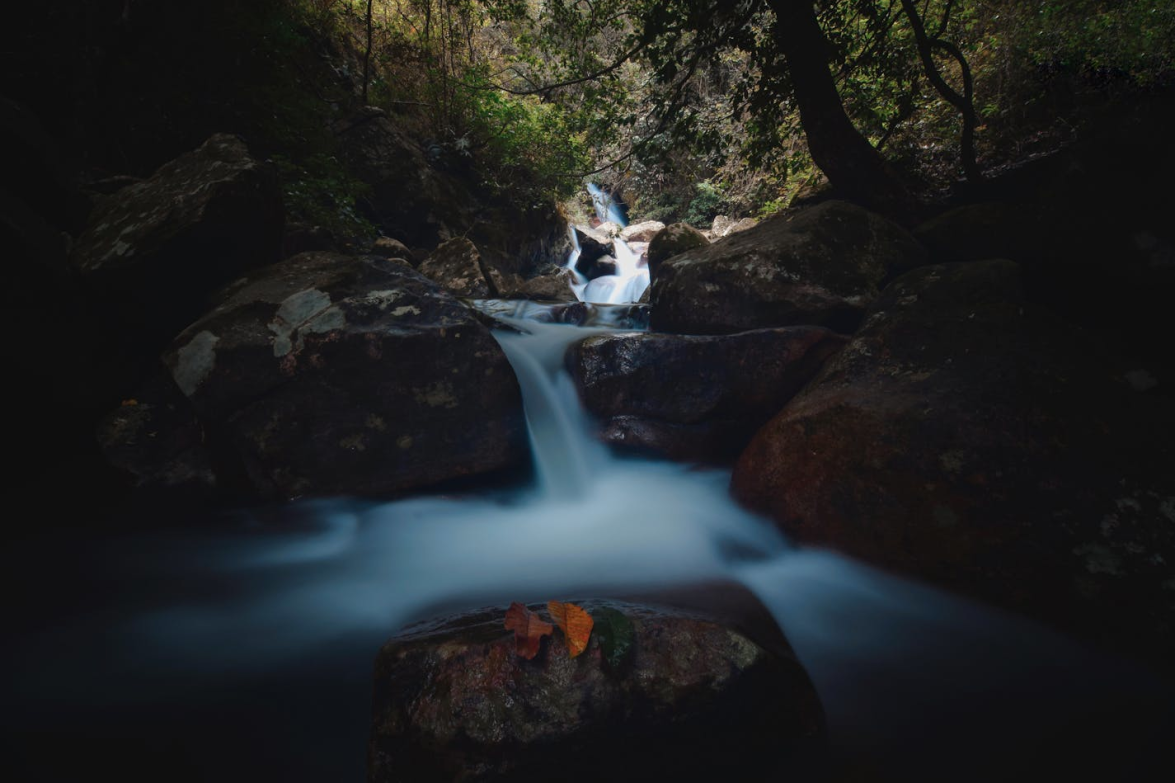
Interest: Beautiful shaded passages, oak and pine forest.

Heritage curiosity: Church in Gualdaricciu, Church in Carabona, bread oven of Giglio, Pian di Santu mill.

Les Sentiers de l'Alta Rocca - Zonza / Quenza

GPS: N41° 44'422988" - E9°10'3.4788"
Duration: 4h15 roundtrip, orange mark, easy path.
Start: from Levie, at 50m at the left of the hotel "Mouflon d'or".
Interest: enjoyable passages along the water. Oak forest.